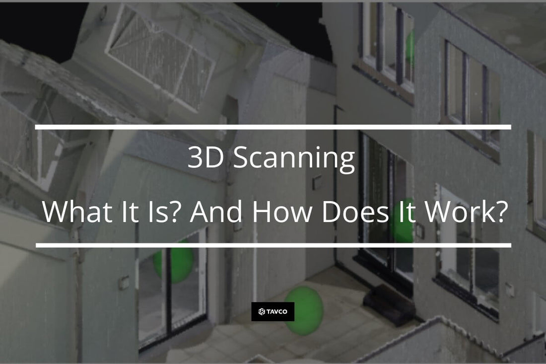
3D Scanning - What Is it, And How Does It Work?
3D scanners use cameras or lasers to capture images of objects and spaces converted into digital files. As a result, they can create accurate models of real-world objects, which makes them useful for creating virtual prototypes, visualizing designs, and even making realistic replicas.
What Are 3D Scanners?
A 3D scanner is a device that uses a laser beam to measure distances between thousands or even millions of points on an object's surface. The software then processes this data to produce a three-dimensional model of the scanned object.
There are many different makes and models of 3D scanners available. This article focuses on the Matterport line of 3D imaging products.
The focus on Matterport is due to its portfolio offering the lowest cost of entry into the 3D scanning world and the most effortless workflow. These qualities make Matterport an excellent option for novices and experienced 3D capture enthusiasts.
What Are the Different 3D Scanner Technologies?
One of the primary technologies used in 3D scanners is LiDAR (Light Detection and Ranging). According to NOAA, LiDAR is defined:
“A method that uses light as a pulsed laser to measure ranges (variable distances) to the Earth. These light pulses—combined with other data recorded by the airborne system — generate precise, three-dimensional information about the shape of the Earth and its surface characteristics.”
LiDAR data is captured via scanning software and compiled into a point cloud. This technology is the basis of the Leica Geosystems BLK360 Gen 1 and Gen 2 scanners. Likewise, the new Matterport Pro3 is a LiDAR scanner.

Pictured: Matterport Pro3 LiDAR scanner
Note that the BLK360 Gen 1 and the Matterport Pro3 can be used with the Matterport Application and uploaded to Matterport.com for registration and publishing options.
Another technology used by Matterport is infrared used in the Pro2 series. This infrared camera is less expensive than traditional LiDAR scanners, but it gives some accuracy, especially at longer distances.

Pictured: Matterport Pro2 3D Camera
Additionally, the infrared camera does not function appropriately in full sunlight, as the image becomes washed out. However, the image quality of the Pro2 is superb. Chances are if you have ever seen a 3D picture of a real estate property, VRBO, or HomeAway listing, it was probably taken with a Matterport Pro2.
How to Capture a 3D Scan with a Matterport Camera?
Capturing a space in 3 dimensions with a Matterport device is a straightforward process. Essentially, you power on the camera and connect it via Wi-Fi to a mobile device running the Matterport Scanning App.

Pictured: IPad running Matterport Capture App
Next, using the Matterport App, take a series of overlapping scans so the Matterport software can compile the data into a 3D model. Once you have completed all your scan locations (also known as setups), you upload the 3D file to the cloud for final processing.
It is essential to note that to connect and upload to Matterport.com, you must first set up an account to access and view your data. No worries, a free plan is available if you're just starting out. However, a higher-level plan is required to access more Active Spaces, add more users, or upgrade to other features.

Once the uploaded file is processed and completed, you can review the space in a virtual 3D walkthrough. In this view, you can choose between a dollhouse view of the model, the floor plan view, and even take measurements from the image or add notes.
Matterport Addons
Sometimes you need more advanced functionality with your scans. For this, Matterport offers a variety of different add-ons. These include obtaining schematic floor plans, publishing listings to Vrbo and HomeAway, utilizing Google Street Views, and creating bundled MatterPaks. These contain various files from 3D data commonly used by design and development professionals.

You can also download an e57 high-density point cloud to import into various CAD software programs that are compatible with AutoCAD or BricsCAD Pro.
Why Do Architects and Engineers Love 3D Scanning?
3D Scanning has become increasingly popular among architects and engineers because it enables them to visualize their designs as they will appear when completed. In addition, they can benefit from the data collected in the digital twin of the job site or architectural project.
Creating 3D models from terrestrial 3D Scanning helps AEC professionals gain critical building intelligence in an immersive and visual way. In addition, this process enables them to collaborate more easily and quickly with project owners and stakeholders, thereby improving communication. As a result, Scanning increases productivity and efficiencies and lower project costs.

Architect using Matterport Pro2 Camera
Digital models also help maintain accurate records of building and construction as it progresses. For example, replacing photos with digital twins let anyone on the project team see and understand actual site conditions. This information keeps everyone on the same page and helps monitor the site for health, safety, and regulatory compliance.
Why Do Property Managers Love Them?
Property managers benefit from the data in 3D digital twins of their properties to easily share immersive building data with subcontractors and stakeholders. This communication eliminates the need for any physical plans or hand-drawn sketches.

One generally forgotten application for property management professionals is training new employees. Digital reproduction of the building or facility enables new employees to onboard in a virtual environment where they can easily visualize the space and understand company logistics and policies.
Mitigating risk is crucial to property managers. Capturing the physical environment in a 3D virtual space helps manage risks and accident documentation by creating floor plans, emergency routes, and accident response plans.
In conclusion, 3D scanning technology has gained significant popularity over the past few years. While some may consider them as expensive toys, they offer many benefits for businesses and individuals.
3D scanners are gaining popularity due to their numerous benefits. They allow people to see things in new ways and better understand how objects work and interact with one another. They also help companies save money by reducing the need for traditional, archaic methods of sharing information.
Cited sources:
https://leica-geosystems.com/en-us/products/laser-scanners/scanners
No comments








0 comments